

Google Earth is a great tool and it’s free for everyone to use. No doubt that many of us in the mining industry already use it regularly.
Previously I had written an article about how Google Earth can be used to give your entire engineering team a virtual site visit. It’s cheaper than flying everyone to site. That blog is available at this link “Google Earth – Keep it On Hand”.
What else can Google Earth do for me?
The Investor Relations (IR) department in a mining company can also take advantage of Google Earth’s capabilities. Typically the IR team are responsible for creating a myriad of PowerPoint investor presentations. Their slideshows will include graphics highlighting the project location, showing exploration drilling and planned site facilities for advanced projects. This is where Google Earth can be used to create a more interactive experience for investors.

Google Earth with 3D Buildings
Rather than relying only on PowerPoint, the technical team can create drillhole maps, 3D infrastructure layouts, open pit plans, 3D tailings dams, and import them into Google Earth.
By creating a KMZ file, one can share this information with investors, analysts, and stakeholders. This will provide an interactive opportunity to view the information themselves.
Viewers could fly around the site, zoom in and out as needed, examine things in 3D, and even measure distances. Viewers can even save the project in Google Earth and return back whenever curiosity dictates.
I have been a part of engineering teams where Google Earth has been used to share layout information. However I have not yet seen such information offered as a downloadable KMZ file to external parties. If you know of any companies that are currently doing this, please let me know (kjkltd@rogers.com) and I will share their link here.
There also is VRIFY
VRIFY is a new cloud based platform that provides 3D viewing capability. It provides a map based graphic tool to IR departments for sharing project information. VRIFY can also enhance collaboration among engineering teams by enabling a group to view a virtual project and sketch on the image in real time.

VRIFY desktop screenshot
VRIFY also allows more detailed information to be displayed in the form of hotspots within a project. Click on them to get more information on that topic (see image to the right).
Although I have only been given a demo of VRIFY, it appears to be a nice package that provides more functionality than Google Earth. Unfortunately VRIFY is not free for a company to use. The minimum subscription cost is about $10,000 (plus extras).
In June 2019 VRIFY made a deal with Kirkland Lake Gold whereby interested property vendors can submit their project to Kirkland Lake management for their review.
Here is the link (https://vrify.com/dealroom). In the proposed approach, the project information is submitted using the VRIFY platform. Essentially some of the same information presented in a PowerPoint is now provided in a more interactive fashion. Participating companies must first enter into a client service agreement with VRIFY. We will see how this idea works, since it does add a cost and new complexity for the property vendor.
There is another cloud based service called Reality Check, which offers virtual reality site visits.
Conclusion


 Mining companies are always on the hunt for new projects to grow their cashflows. They would all like to find the “perfect” project; one with ideal conditions and great attributes.
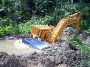 Now take an honest look at some recent (or past) projects that you have been involved with. How many of the perfect attributes listed above would be represented? It would be surprising to see them all checked off. Unfortunately that means certain flaws (risks) must be accepted when developing a project.
 The bottom line is that management understandably have a difficult task in making go/no-go decisions. Financial institutions have similar dilemmas when deciding on whether or not to finance a project.
 At a booth at the 2019 PDAC I had a chance to speak with a publicly traded company called
  The algorithm then examines the cell data to teach itself which attributes correlate to known mineralization and which attributes correlate with barren areas. It essentially determines a geological “signature” for each mineralization type. There could be millions of data points and combinations of attributes. Correlation patterns may be invisible to the naked eye, but not to the computer algorithm.
 I was told that many in the geological community tend to discount the AI approach. Either they don’t think it will work or they are fearing for their jobs. Personally I don’t understand these fears nor can I really see how geologists can ever be eliminated. Someone still has to collect and prepare the data as well as ultimately make the final decision on the proposed targets. I don’t see the downside in using AI as another tool in the geologist’s toolbox.
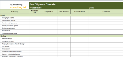 You a create your own checklist but if you would like a copy of mine just email me at KJKLTD@rogers.com and let me know a bit about how you plan to use it (for my own curiosity). Specify if you would prefer the Excel or PDF versions.
 Mining due diligence exercises can be interesting and great learning experiences, even for senior people that have seen it all. However they can also be mentally taxing due to the volumes of information that one must find, review, and comprehend, all in a short period of time.

 I like the concept that Globex are promoting. I like the idea of having a one-stop shop that acquires and options out exploration properties to mining companies looking for new projects.

 Its the right thing to do
 The company gets a chance to learn about potential employees and also gets productive service from them.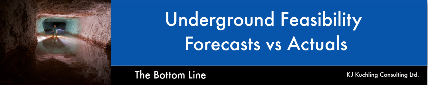
 His topic is interesting and relevant to today’s mining industry. Paul raised many thoughtful points supported by data. He gave me permission to share his information.
 I agree with many of the points raised by Paul in his study. The mining industry has some credibility issues based on recent performance and therefore understanding the causes and then repairing that credibility will be important for the future.
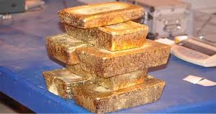
 My question is why not stockpile the extra gold and wait for gold prices to rise? This might be an option if the company doesn’t really need the money now or doesn’t plan to gamble on exploration or acquisitions.
 After having worked in the mining industry for over 40 years, it is interesting to experience the herd mentality that exists. Its fascinating to see how easily the industry gets caught chasing the latest fads and loses focus on the long term picture.
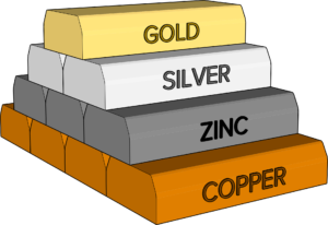 Often as soon as there is a price spike or positive market narrative, commodity specific projects can take on a life of their own. The following are few examples, and when you reflect back on them, how many actually were a success for more than but a few.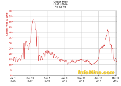
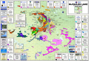 We have all seen the staking rushes that occur when a world class prospect is discovered. I’m sure we can all recall getting the large claim maps (as shown in Ring of Fire map) with their multicolored graphics showing the patchwork of acquisitions around a discovery. PDAC was great for distributing these. They were well done and always interesting to study.
 Even mining or processing technologies could get caught up in somewhat of a wave and move the herd. Sometimes it was driven by suppliers or consultants. For the engineers out there, who can recall…
 On the site they have a searchable database for tax information for specific countries.