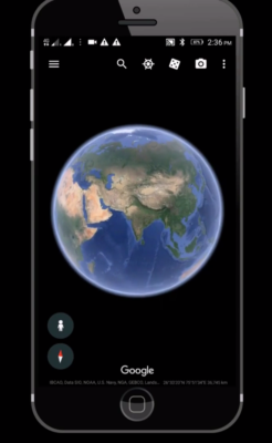
In a previous blog post “Mine Site Visit – What Is the Purpose?” I briefly discussed the requirements for a mine site visit to be completed by one or more Qualified Persons (“QP”) in a 43-101 compliant study. Unfortunately normally the entire study team cannot participate in a site visit; however the next best thing may be Google Earth.
See the Mine Site with Google Earth
 Gather your team around their computers and fire up screen sharing software like Teams, GoToMeeting, Skype, or Zoom. Give control of the mouse to someone who knows the site well. Here are some of the things you can do on your group tour.
-
You can fly-around the project site examining the topography.
-
You can view regional features, regional facilities, land access routes, and existing infrastructure.
-
You can measure distances (or areas), either in a straight line or along a zigzag path.
-
You can view historical aerial photos (if they exist) to show how the area may have changed over time.
-
You can import GPS tracks and survey waypoints. If a member of the study team has visited the site with a GPS, they can illustrate their route and their observations.


I have yellow pins all over my Google Earth to mark locations of projects. I find it useful to orient a project with respect to infrastructure and to get approximate distances to highways, towns and ports.